Your cart is currently empty!
Why Us?
Our Company
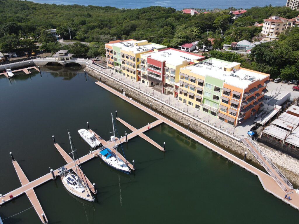
XYZ Costa RIca is a consolidated surveying company in the North and Central Pacific area, with our group of high quality professionals, trained to provide a diverse range of solutions, using the best technology in order to provide the information requiered by our customers.
Main services
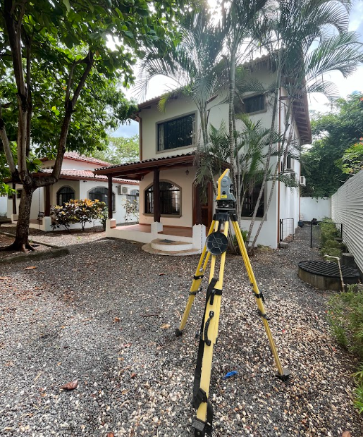
Real Estate Surveys
As part of the due diligence the Real Estate Surveys are recommended to identify any contigency related on topographic matters, after completing each survey we compate our measurments with the recorded information on Real Estate Title and the respective Survey Map (Cadaster) in order to give you our recommendations, based in our criteria and expertise.
Incorporong Topographic analysis in Real Estate enhances project feasibility, supports informed decision-making, and ultimately leads to more successful developments.-
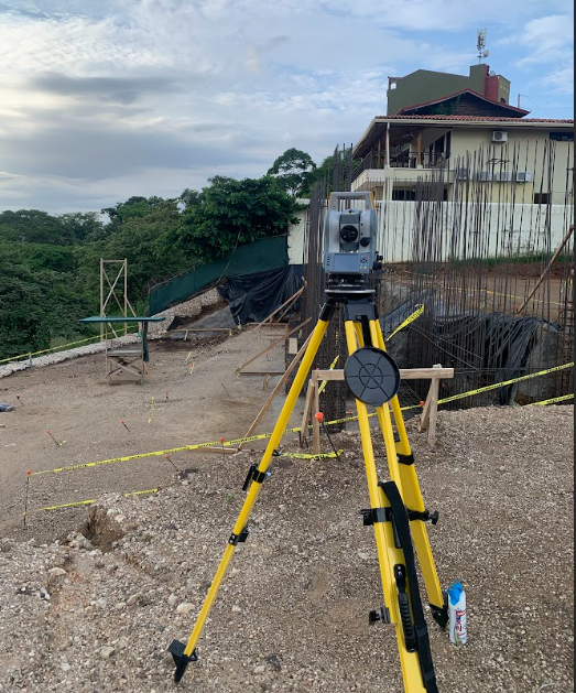
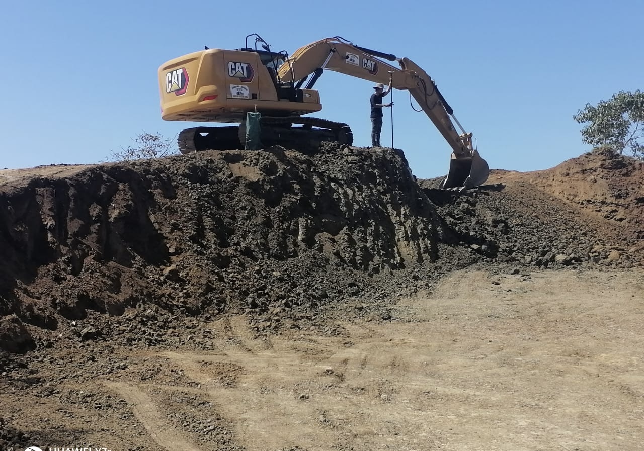
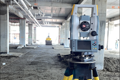
Topography For Construction
Topographic services fo construction are essential for accuarate planning and execution of projects Our wide experience allows us to provide solutions in preliminary studies, design and execution.
Services like: Topographic surveys, Digital Elevations Models, Contour Mapping, Volume Calculations, Site Analysis and Planning, Regulatory Compliance and Ongoing Monitoring, play a crucial role in minimazing risks, optimizing site designs, and eansuring compliance throughout the construction process.
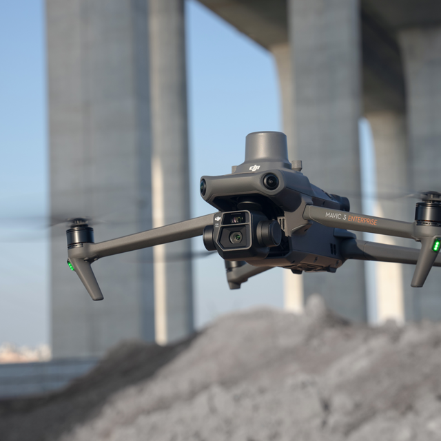
Photogrammetric Drone flights.
Our Drone DJI Mavic 3 Enterprise allows us to obtain reliable information about physical objects and the environment through a set of photos that are captured orthogonally and processed to obtain an orthomosaic of the study area.
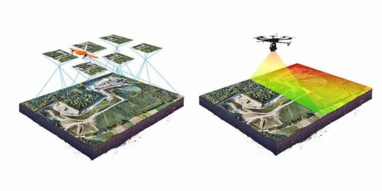
By using a RTK (Real Time Kinematic) measurement technology this solution guarantees very reliable results to obtain a digital representation of objects in terms of their shape, dimensions and/or location.
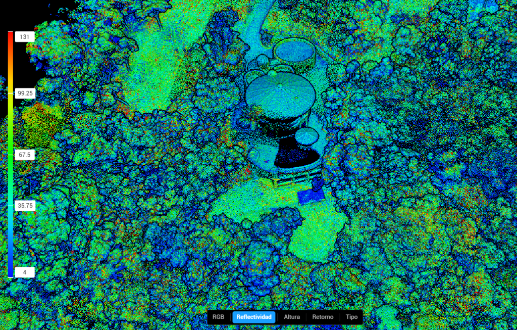

LiDAR Solution
The use of LiDAR (Light Detection and Ranging) in the development of a master plan for condominiums offers multiple advantages, especially in terms of accuracy, efficiency and design optimization. Here’s how it helps at every stage of the process:
- 1. Detail Topograpjhic Survey
- 2. Urban Design Optimization
- 3. Risk and Sustainability Analysis
- 4. Integrarion with BIM and GIS
- 4. Cost and Time Savings
LiDAR is ideal for the elaboration of condominium master plans, allowing a more efficient, sustainable and accurate planning, reducing costs and optimizing the development of the project.